Green Square Water Stories (2021-2023)
Funders: University of Technology Sydney Cross-faculty Initiative and UTS 2027 Strategy (2021), The Council of the City of Sydney (2022-2024)
Partners: Bangawarra, 107 Green Square, PedalSetGo
Download the Green Square Atlas of Water Stories
Download the Green Square Map of Water Stories
Download the Green Square Water Stories Case Study
Water Stories foregrounds histories, initiatives, and practices relating to water as a way of materialising social-ecological connections. Water Stories researches and develops an interactive installation that maps, materialises and activates social and environmental histories and practices centred around water in Green Square.
The Story
- Sustainability of urban areas depends on good water management, which is the result of infrastructures and civic ecologies, i.e. grassroots stewardship initiatives.
- The absence of water narratives plays a role in the deficit narrative of Green Square as a site lacking civic ecologies.
- Water has been and is fundamental in histories of social and environmental change in the area.
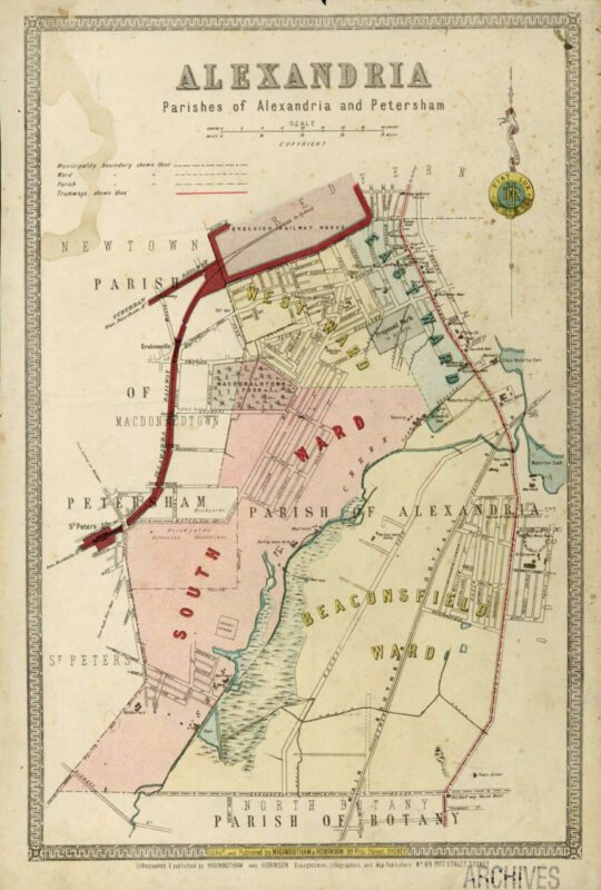
, Map – Parishes of Alexandria and Petersham, circa 1886-1889, City of Sydney Archives.
Water Stories addresses the complex issues outlined above by researching and developing an interactive installation that maps, materialises and activates social and environmental histories and practices centred around water in Green Square. In detail:
Conducts historical and ethnographic research on water and civic ecologies.
Makes them present and visible in an interactive installation.
Expands placemaking practices by surfacing water stories enmeshed in Green Square, yet forgotten in prevailing representations of Green Square.
Challenges the deficit narrative of Green Square by amplifying the presence of civic ecologies.
Offers a means of conceptualising urban renewal as a socioecological process, where social experience is embedded in the dynamics of ecology and vice versa.
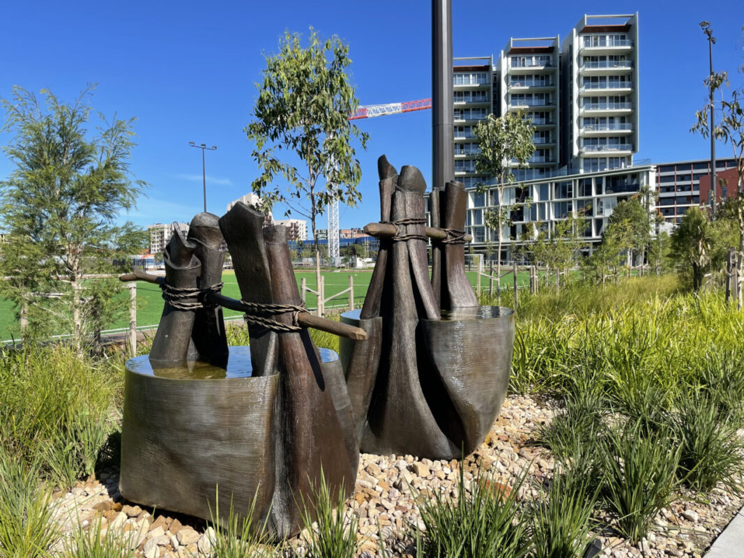
Projects such as the recognition of the importance of water for the Aboriginal peoples in the area through artworks such as Aunty Julie Freeman and Jonathan Jones Bangala; signposting of wetlands; toponomy; the new stormwater drain redirecting water to Sheas Creek; and environmental public art like High Water are some of the ways in which water is managed and foregrounded in Green Square. Other, undocumented, examples include grass root practices, such as water recycling, grey water and rainwater harvesting, drought resistant gardening.
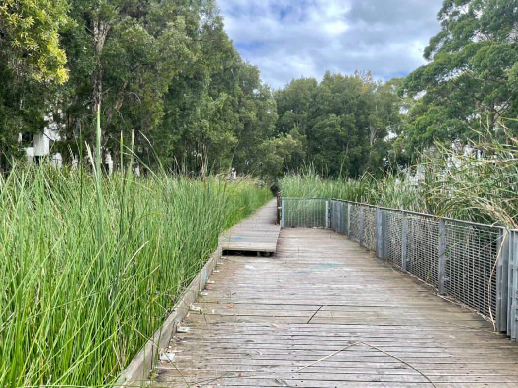
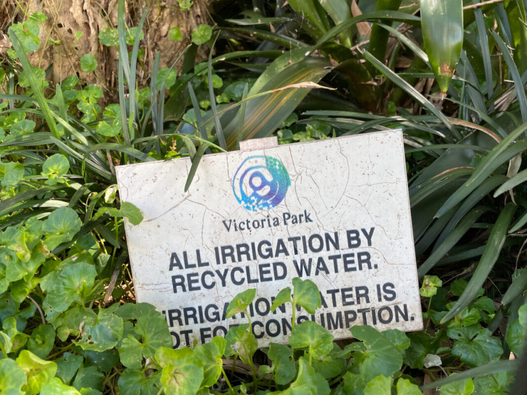
By connecting and materialising civic ecologies of water such practices are made more visible to diverse publics. This is important because materialising and making visible examples of organised or self organised, locally driven forms of water stewardship is a crucial step to establish a connection between people and places.
These connections cultivate a sense of belonging and generate local forms of care in the face of rapid and disruptive change. They also offer a means of charting urban civic ecology, moving it to the centre of urban development, rather than consigned it as a residue. With the growing ‘revenge’ of transformed ecology, not least in terms of storms and floods under climate change, the project explores a prospective agenda with wide significance.
Community participation is key to this project. Get involved and join us for community walks and workshops and share your knowledge of local environmental practices. If you live or work in Green Square, please consider taking part in our Questionnaire
Related Posts
The Plantiness of Bankstown
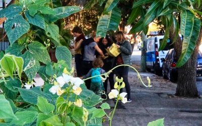
For the Bankstown Biennale This project welcomes you to walk noticing how plants shape the ways we look at, feel about, and imagine Bankstown. It consists of...
The Planty Atlas of UTS
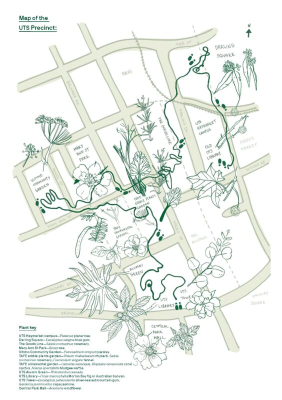
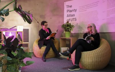
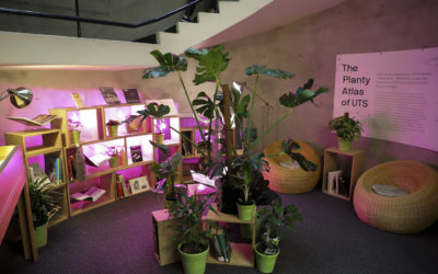
The Planty Atlas of UTS mapped the local environment of the UTS neigbourhood to draw attention to – and spark curiosity about – the role of plants in our day-to-day lives. By engaging UTS staff and students, we conducted a series of mapping walks at and around UTS to expore the local plant life and observe, interact, reflect and accept feedback from our chosen routes. Coupled with a curated installation of plants and books at the the UTS Library and the production of seed balls, maps and photographs of our findings, this project urged participants to consider how our understanding of the world can shift when we let ourselves be guided by plants. Funder: UTS Library
The Planty Atlas of UTS
The Planty Atlas of UTS is a participatory project we designed for UTS Library Creative in Residence 2019. The project invites participants to imagine a more...
How to Make Seed balls
UTS Precinct Walks
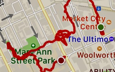
As part of the residency, we convened 3 walks connecting the 'old' UTS library at Markets campus with the new location at UTS Central. The walks were loosely...
Planty maps as treasure maps: Mapping Edges at TeachMeet
What if we think of plants as treasures growing in our cities? And how would we go about making these treasure discoverable? Mapping Edges presented a...
Seed balls workshop
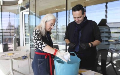
In September, Mapping Edges ran the first event in the not-yet-open new UTS Central Library by throwing dirt, compost and seeds around the shiny clean winter...
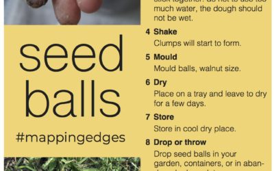
How to make seed balls
Kangaroo Grass
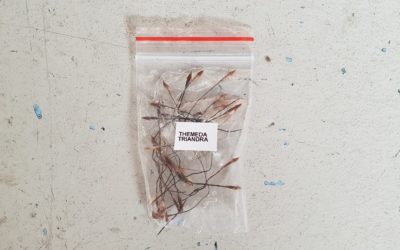
You can make seed balls using just about any type of seeds. We chose kangaroo grass for our workshop because of what we knew about its significance to...
Digital Bookshelf
As part of the planty bookshelf, we put together a list of digital resources to help with planty research. Atchison, J. (2019). Thriving in the Anthropocene:...
The Planty Bookshelf
The Planty Bookshelf is a socially engaged creative project consisting of an installation of a curated, multidisciplinary bookshelf of UTS library’s holdings on selected plants and three mapping walks inside UTS library and in the surrounding neighbourhood. The walks will be held in spring and summer 2019.
7 Conversations in Haberfield
In 2018 we completed an oral history project in Haberfield, NSW. The aim was to map, document and showcase the neighbourhood’s cultural diversity through...
