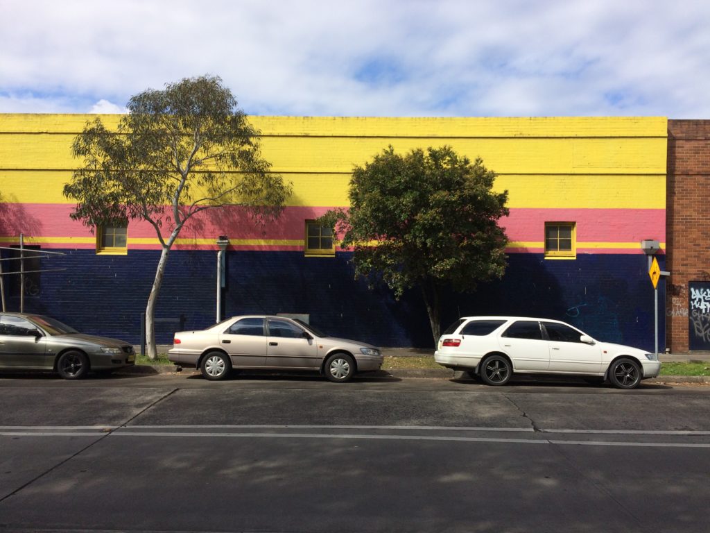
Alexandra Crosby co-authored a report on Carrington Road, an area of Sydney’s Inner West Mapping Edges has been exploring in our research on disturbed landscapes in industrial zones of the city.
The report is part of a broader project: ‘Urban Cultural Policy and the Changing Dynamics of Cultural Production’. Sydney is one of three Australian cities included in the study. The chosen Sydney case study is the inner-west suburb of Marrickville and, in particular, two precincts that have both strong industrial histories, with clusters of niche manufacturing activity, and distinctive, growing creative industry concentrations. These two precincts are Sydenham Industrial Estate (aka ‘Sydenham creative hub’) and Carrington Road, Marrickville. This interim report – the second for the project, following an initial position paper (available via the project’s website) – is a creative industries-manufacturing cluster audit report for the Carrington Road, Marrickville precinct. An on-the-ground audit of the Carrington Road precinct was undertaken in July-August 2017, implementing a methodology that will be applied to several case studies being documented in Australia and internationally for the project. Enterprises located in the Carrington Road precinct were documented and categorised. A sample of creative-manufacturing enterprises was then identified, and subsequently consulted for information on their activities and links to the precinct. From this, the report identifies crucial insights on not only the employment significance of the precinct’s creative industries-manufacturing interface, but also the functional interconnections between enterprises, within and beyond the precinct.
There is also an article in The Conversation here.

A gum tree and a lilli pilli on Sydney’s Carrington Road.

0 Comments