RESOURCES
RESOURCES
Browsing Tag: mapping

Mapping Edges + Linda Knight + Alys Longley at Livingmaps Network
We were honoured and excited to present our research to the Livingmaps Network with Linda Knight and Alys Longley last month. We wrote about this presentation earlier, and now the webinar is available on Livingmaps’ YouTube. Livingmaps Network writes: the webinar features three presentations by artists located in lands deeply impacted by colonisation […]

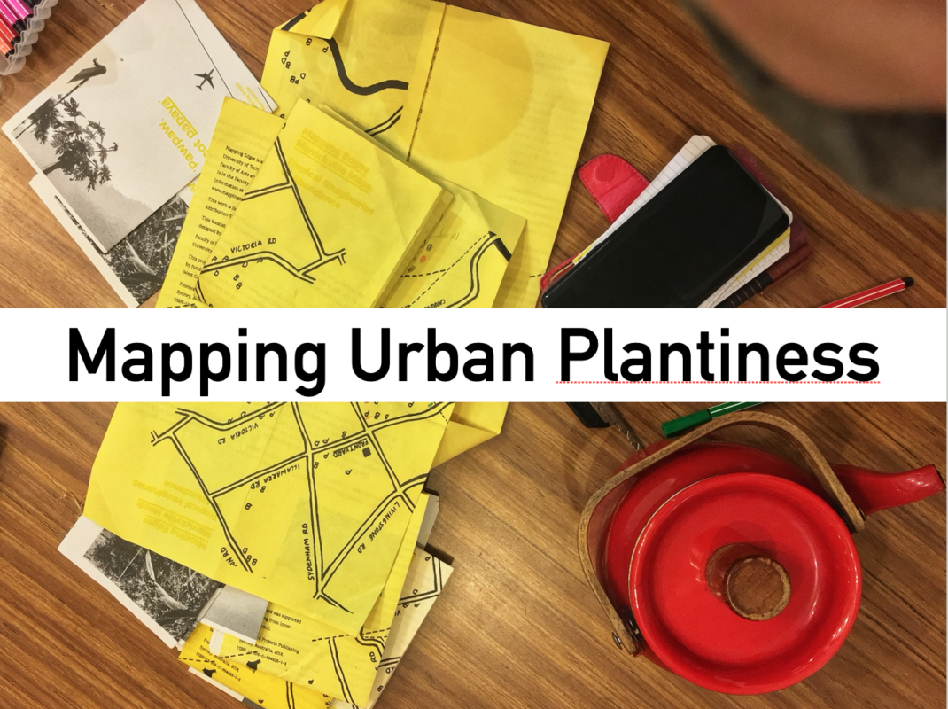
The not-yet-tropical: mapping recombinant ecologies in a Sydney suburb
Mapping and fitness apps, government agencies and departments, and citizen science projects provide a wealth of data on urban green spaces, charting parks, reserves, and green corridors in and around Sydney. These maps represent vegetation as surface and, as Doreen Massey in the 2005 book For Space noted about other types of Western maps, detach […]
